
Airport profile · LAX / KLAX
Los Angeles International Airport
Los Angeles International Airport (LAX / KLAX) serves the Los Angeles area in United States. This profile brings together identifiers, geographic reference data and the IANA time-zone name, with links to neighbouring airports and practical transfer guides.
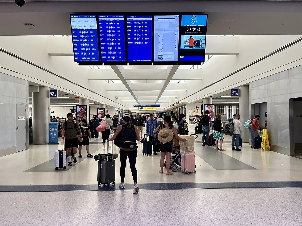
Verified reference facts
- IATA / ICAO
- LAX / KLAX
- Location
- Los Angeles
- Country
- United States · US
- Time zone
America/Los_Angeles- Latitude / longitude (decimal degrees)
- 33.94250, -118.40800°
- Field elevation
- 125 ft · ≈ 38 m
Reviewed : · OurAirports ↗ · Airport website ↗
Geography: OurAirports, public domain. Names, codes and coordinates are reference data, not operational navigation information. Time-zone identifiers: IANA conventions.
Before booking a connection
Check the airport code on every flight segment, the terminal and whether baggage is checked through. A change of airport requires a ground journey; a change of terminal can require immigration or security. Minimum connection times depend on the precise itinerary and are not a general recommendation for separate tickets.
Reading the time zone
America/Los_Angeles — Use the IANA identifier with the exact travel date. A fixed UTC offset is not reliable across daylight-saving changes or government decisions. Timetables normally show local times at each airport; compare complete dates as well as hours when crossing midnight or the international date line.
Published runway data
| Runway | Length | Width | Surface |
|---|---|---|---|
| 7L / 25R | 3,930 m (12,894 ft) | 46 m | CON |
| 7R / 25L | 3,382 m (11,095 ft) | 61 m | CON |
| 6R / 24L | 3,310 m (10,859 ft) | 46 m | CON |
| 6L / 24R | 2,721 m (8,926 ft) | 46 m | CON |
Reference data, not operational flight information. Check current aeronautical publications and NOTAMs before flight.
Calculate duration using local dates and time zones →
Airports in the same country · United States
This reference selection compares time zones and straight-line distances. It does not establish direct flights or feasible ground transfers.
- SAN · San Diego International AirportAmerica/Los_Angeles · ≈ 176 km
- LAS · Harry Reid International AirportAmerica/Los_Angeles · ≈ 380 km
- SJC · Mineta San Jose International AirportAmerica/Los_Angeles · ≈ 496 km
- OAK · Oakland San Francisco Bay AirportAmerica/Los_Angeles · ≈ 543 km
- SFO · San Francisco International AirportAmerica/Los_Angeles · ≈ 543 km
- PHX · Phoenix Sky Harbor International AirportAmerica/Phoenix · ≈ 595 km
Nearby airports in this reference
Distances are calculated between airport reference coordinates on a sphere of radius 6,371 km, rounded to the nearest kilometre. They are not road distances, flight lengths or evidence of a scheduled service. This selection is limited to airports in our reference. An airport reference point is not a terminal door. For ground travel, use exact departure and arrival addresses and permitted access points.
Questions about this topic
What are the codes for Los Angeles International Airport?
The IATA code is LAX and the ICAO code is KLAX. Booking systems commonly use the three-letter IATA code; operational references commonly use the four-character ICAO code. Always check the code rather than the city name alone.
Which time-zone identifier applies to LAX?
The reference uses America/Los_Angeles. Use date-aware software to determine the offset on the day of travel; this profile does not provide a live airport clock.
Does the nearest airport offer the same flights?
Geographic proximity does not establish equivalent routes, fares, baggage rules or terminal access. Check each airport separately with the airline and include ground transport in the total journey cost.